Posted 4/4/2024, 5:03:10 PM
New AI Rapidly Creates 3D City Maps from Radar to Aid Disaster Response
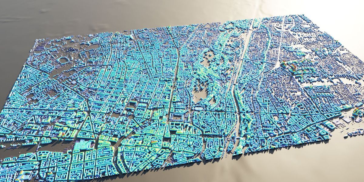
- New AI system creates 3D city maps from single radar images, accelerating disaster response
- Uses synthetic aperture radar (SAR) images and neural network trained on lidar maps
- Predicts building heights with ~3 meter accuracy to assess damage after disasters
- Works on SAR images from multiple satellites, but still struggles with skyscrapers
- Remains less accurate than lidar, but provides quick overview when lidar unavailable