MIT Develops Method to Accurately Map Crops Using Street View and Satellite Images
-
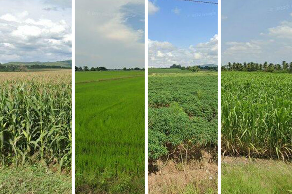
MIT engineers developed a method to quickly and accurately map crop types using Google Street View images, machine learning, and satellite data.
-
They used the technique to create a 93% accurate nationwide crop map of Thailand showing the distribution of rice, cassava, sugarcane, and maize.
-
The method helps track global food supplies and estimate crop shifts with climate change, especially in low-income countries lacking resources for on-the-ground crop surveys.
-
The team is applying the mapping technique to other smallholder farm countries like India to understand agricultural outcomes like yield and farming sustainability.
-
The crop maps over time can reveal trends related to climate and policy changes.