Insurers' Use of Drones to Assess Homes Raises Concerns Over Accuracy and Privacy
-
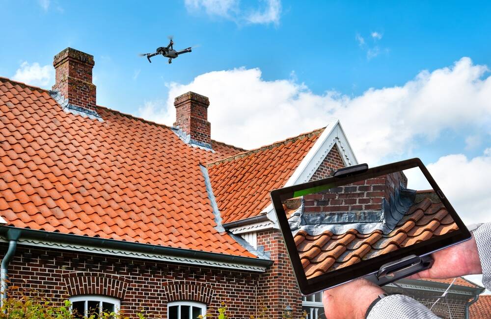
US insurers like State Farm and Allstate are using aerial photos from drones to deny home insurance claims and drop policies.
-
The Geospatial Insurance Consortium provides drone imagery and AI analysis to identify homes deemed too risky to insure.
-
Insurers have made decisions based on inaccurate or outdated drone photos leading to policies being wrongly dropped.
-
There are privacy concerns with private drones surveying homes without permission across the country.
-
Relying on aerial photos instead of in-person inspections results in less accurate assessments and is more invasive.